The Mestia-Ushguli trek is one of the most famous treks in Georgia, offering a beautiful mix of landscapes. This guide focuses on people that want to complete this trek in 3 days. Each day the difficulty level is different: the first day is a moderate-hard hike, the second day a moderate hike, and the third day is an easy hike.
This trek is suitable for all levels: if you are a beginner, you can go slowly and finish it in 4 days, or if you are very fit and want to challenge yourself, it’s possible to complete it in two long days of hiking.
It’s impressive what Georgia has to offer, it’s also very rewarding to have a chance to complete this famous trek and get to know more about Georgia’s culture and immerse in its nature.
Table of Contents
Quick facts about this adventure
- Length: 55km
- Difficulty: Moderate - Hard
- Elevation gain: 2182m
Is it safe to do the Mestia-Ushguli trek?
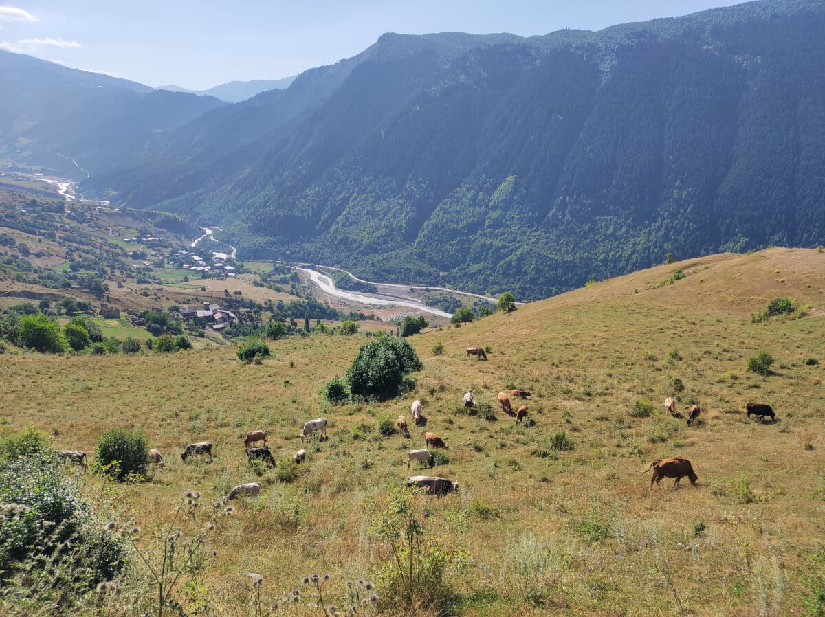
Georgia is a relatively safe country. The area between Mestia and Ushguli is not different. There are two types of people: Hikers and villagers. Besides humans, you are going to see cows and dogs everywhere. The chances of facing danger are low based on what we have experienced.
Regarding safety in the trails and the mountains, the way is well-signalized, and cellphone networks are working most of the time, with exceptions in some areas (Adishi). There is one glacier close to Adishi that melts during the day, increasing the water flow in the river, so you need to be careful when crossing it. More details about the river crossing on the second day.
Can I do this trek without experience?
Completing the Mestia-Ushguli trek in three days requires a good fitness level. The first day is the most demanding, with more than a 1 km elevation gain and a 23 km hike. After that, it will be a little easier on the second day, but a considerable amount of energy is required to complete it. The third day is the easiest, a soft hike with small elevation gain, but remember that you will be hiking for three days.
For a first-time hiker, it can be challenging to complete this adventure. In the end, you are the best person to know about your stamina level. In order to be fully prepared, we recommend wearing proper hiking shoes, bringing plenty of fruits, and having a water bottle with you. There are plenty of water sources close to the trails on this trek, so lack of water is definitely not a concern.
Mestia - Ushguli or Ushguli - Mestia?
It depends on your plans and how you want to spend your days before and after this hike. We decided to start from Mestia because it was easier to reach after leaving Tbilisi. Another reason was that we planned to explore Mestia a bit more after finishing the trek.
Besides, we decided to start from Mestia was the fact that we had extra luggage and we were concerned about where to put it. After doing some research online, we found that some places could keep an eye on our luggage in Mestia for an extra fee.
A good approach is to check out available activities in Mestia and Ushguli. Mestia is bigger than Ushguli, so there are more options for activities and places to sleep.
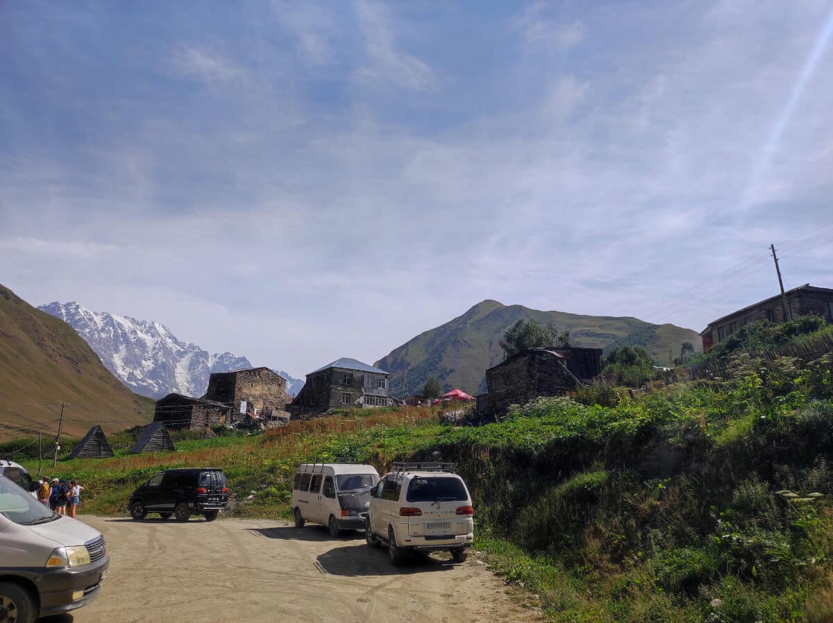
If you decide to do the Mestia-Ushguli path, be aware of the driver’s mafia in Ushguli.
The driver's mafia in Ushguli
If you finish your adventure in Ushguli, you have two options to return to Mestia if you don’t have your own transportation: pay a private driver that will charge 200 GEL or wait for the next available marshrutka, which will cost 40-50 GEL per person.
Once you are there, it’s easy to observe a weird vibe at the exit of Ushguli. There is a cafe place where drivers smoke cigarettes and wait for people to fill the marshrutka and return to Mestia. They are watching every car that potentially would bring someone from Ushguli to Mestia.
These drivers know each other, they “control” who can offer rides back to Mestia in the area.
Besides these drivers, locals are also driving between Mestia and Ushguli for different reasons. It’s a remote area where a few transportation options are available. Locals could also offer a spot in their cars for a fair price to help with gas, or maybe even for free.
However, that’s not the case in Ushguli. Offering a ride is seen as “taking” the opportunity for drivers to make a living in that area. After talking to one man who was afraid of offering us a ride, he told me that drivers know the locals, and if they see that someone offered a ride to a tourist, they could go after their families or damage their cars.
My experience finding a ride to Mestia from Ushguli
As a tourist, you are completely helpless. These drivers can charge as much as they want, and you don’t have another choice besides following their rules.
After finishing the trek, I found one marshrutka driver available to bring me back to Mestia. I was the first one looking for a ride, so he said we would leave as soon as four more people showed up. I agreed and sat somewhere to wait.
A few hours passed, and I still waited for more people to join me. My partner then went to a local restaurant near the cafe, and a man asked if she was looking for a ride to Mestia. She asked him if he had a spot for me, and he confirmed. They agreed on the price for the ride.
One of the mafia’s drivers saw my partner talking to this guy. He was too far away to listen to their conversation but still watched everything. When my partner started walking towards me, this man realized we would leave Ushguli. He immediately stood up and started walking fast towards the driver, who offered us a ride.
People can't offer rides openly
The man that offered us a ride got very scared when he saw the man walking towards him. He said: “I’m sorry, it’s too risky!” and entered his car, leaving Ushguli without us. I couldn’t be angrier! I was there for more than three hours, and now the chance was gone.
I was so angry that I decided to stay close to the bridge and see if someone would give us a ride. I didn’t want to contribute to this primitive behavior. Many minutes passed, but no luck. Another person stopped and told me he would come back in 5 minutes and bring us to Mestia. After leaving the bridge, he stopped his car at the cafe where the mafia drivers were to leave some people. So he got in, and after a few minutes, he got back in the car and got out. It’s easier to guess what happened inside.
After almost 5 hours of waiting, two German brothers asked if we wanted to share a car. At that point, I just accepted that we didn’t have a choice. We paid the guy to bring us to Mesita, the one that was walking around scaring people into having his “clients” and getting his pay.
How to get to Mestia
The four main types of transportation in Georgia are Train, Taxi, Marshrutka (minivan), and Bus. In our opinion, if you are in Tbilisi, the best way to reach Mestia is by train combined with a marshrutka.
However, there is no train station in Mestia. It is necessary to take a train to the Zugdidi station and from there a bus or marshrutka to Mestia. The train ticket from Tbilisi to Zugdidi costs 16 GEL, and the trip takes a little over 5 hours.
Arriving at the train station, we saw several marshrutkas waiting for us. There is only one train departing from Tbilisi to Zugdidi daily, so marshrutka drivers know when to be at the station to offer rides to different places. Most of the rides offered are to Mestia. The regular price for a ride is 20 GEL.
Please pay close attention to the time: In my case, after arriving around 2 PM in Zugdidi, I was hungry. So I decided not to rush to Mestia and go to a restaurant. After returning to the train station, I only found taxis charging 200 GEL to take me to Mestia, and there were no marshrutkas there.
Luckily, I spoke to some locals, who were kind enough to drive us to a small Bulevar, where I found one marshrutka going to Mestia. They charged a bit more, 35 GEL.
Where to find accommodation for this trek?
Many accommodations options are available through Booking or Airbnb. The majority of these accommodations are in Mestia. Adishi and Iprari are small villages, so depending on the season, it might get crowded. For high seasons it’s clever to book accommodation in advance.
I was there in August, and after visiting the villages and talking to people, I saw some accommodations were available. My recommendation is to at least book in advance in Iprari. It was the village with the least amount of available options.
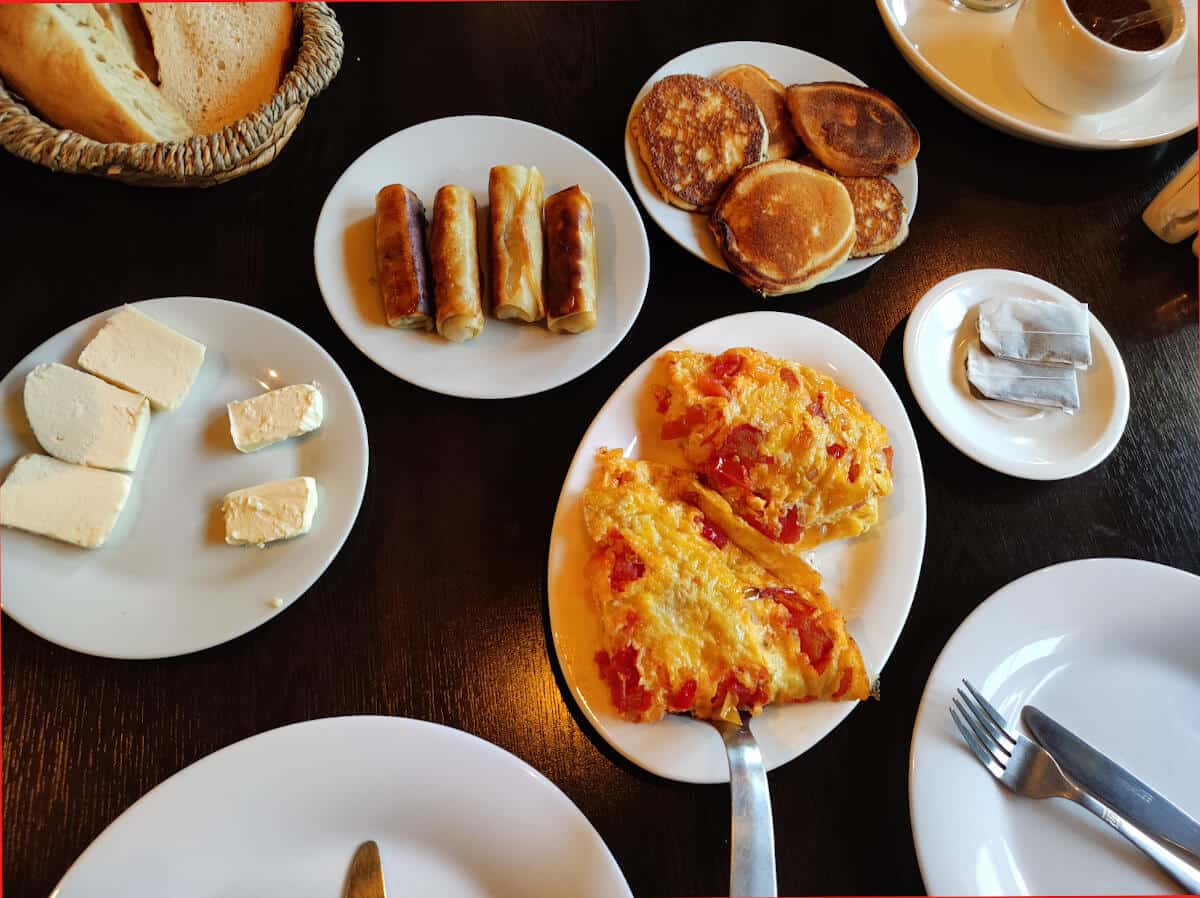
Most accommodations have the option to prepare breakfast and a snack to take along during the trip. They also offer dinner to recover your energy after a long day of hiking.
How can I find food and water?
As mentioned on the previous section, most of the accommodations offer breakfast, dinner and snack/lunch boxed for a fee. Besides the accommodation, there are a couple of houses in the villages that are selling drinks and food. Basically each village you can find someone selling something.
Water is not a concern in this trek. In the villages, nobody would refuse to refill your water bottle if you ask them. Besides that, when hiking, several water sources are crossing the trails. So plenty of opportunities to refill your water bottle and refresh yourself.
From Mestia to Ushguli in 3 Days
From what I have seen, it’s common for people to complete this trek in 4 days. I decided to push myself and finish in 3 days because I knew I could do it. The first day is the hardest, with a considerable elevation gain and distance.
The second day from Adishi to Iprari is a moderate-level hike. And the last day is the easiest one, with a minor gain in elevation and a short distance. Starting strong, decreasing the difficulty as you go towards Ushguli. That’s the premise of this itinerary.
Again, your fitness level is the best way to know if you can do this trek. The following section contains a more detailed overview of the route for each day:
Mestia to Adishi (26.5km)
The first day is the most challenging day of this hike. It is also longer, so the recommendation is to start early in the morning. The elevation gain is around 1548 meters. Several places around the trail are open fields, so exposure to the midday sun is likely to happen.
It can be cold during the first 6-7 km from Mestia in the morning. Most parts of the trail until the first village have trees around it.
The biggest challenge is the hike after the village of Majvdieri, it will be afternoon, and sun exposure can be an issue when hiking through the open fields.
Adishi to Iprari (17km)
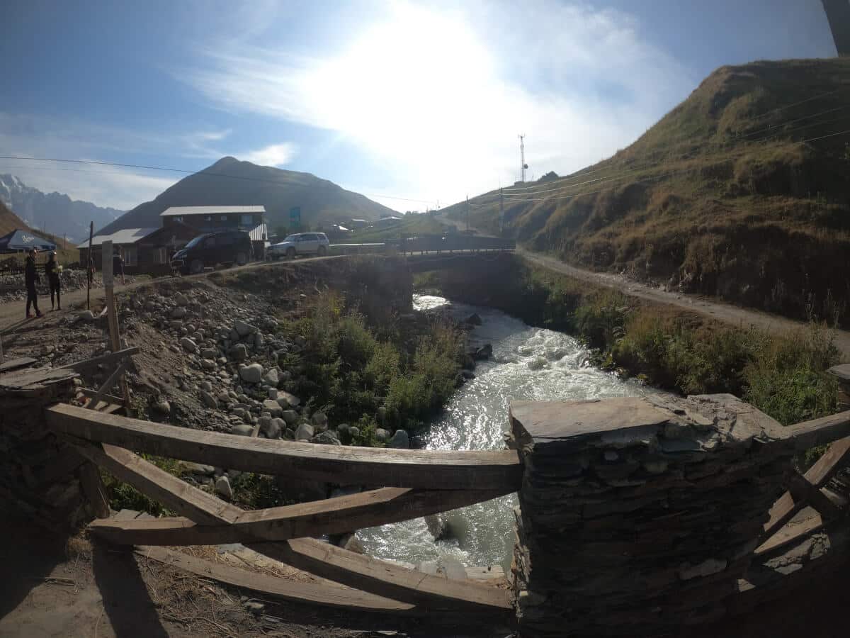
This day is a moderate-hard hike with an elevation gain of 638 meters. The highlight of this day is the river crossing 5km after Adishi. Be prepared to get wet if you want to do the river crossing by yourself. Another option to cross the river is to pay the locals to use a horse to bring you to the other side of the river.
The Chkhunderi pass is a place that stands out to this day. After crossing the river, hiking for 1 km is the viewpoint where this magical creation of nature is there for you to appreciate.
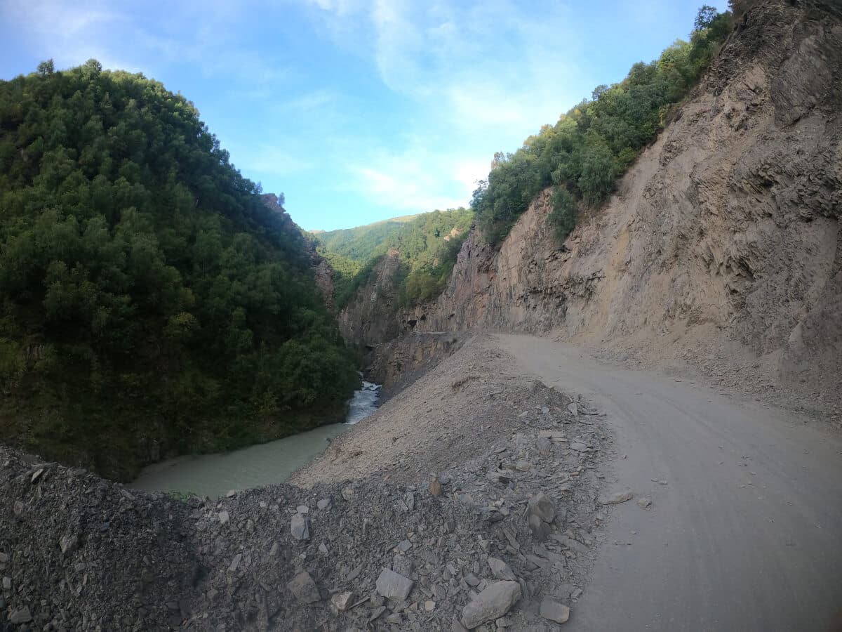
Iprari to Ushguli (12.5km)
After two active days, the last one needs to be easier than the first one. With an elevation gain of 494 meters, you have two options to finish the trek: One is hiking through the mountain behind the village of Davberi.
The second option is through a road that leads to Ushguli. Cars are passing by this road, and construction is happening at the moment of this writing. In my case, I decided not to go over the mountain, so the path by road is covered in this guide.
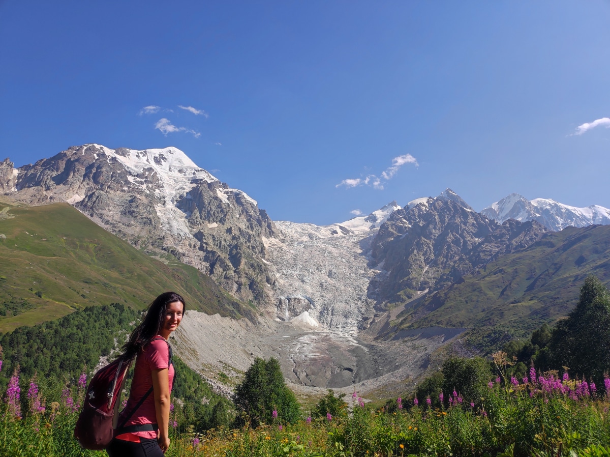
First Day: From Mestia to Adishi
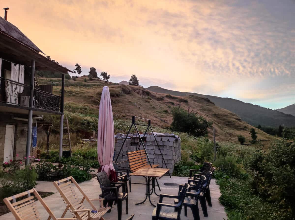
A tough day hiking requires a lot of energy, so a good breakfast with enough proteins and carbs is necessary. I stayed at the Guest House Nikala, where the owner was helpful and kind to us. After telling her we planned to return to Mestia in 3 days, she said we could leave our luggage there. We paid 20 GEL for that (10 GEL for each piece of luggage).
She also prepared a HUGE lunchbox for us that would be enough for the entire day. She charged 15 GEL for each box. On top of everything, she made a royal king-style breakfast. You have our blessings for that Guesthouse, good service, and tasty food.
After everything was ready, I started the adventure around 7 am. It was chilly in the morning, and many cows were also starting their day. Be prepared to see more of them than humans during this trek.
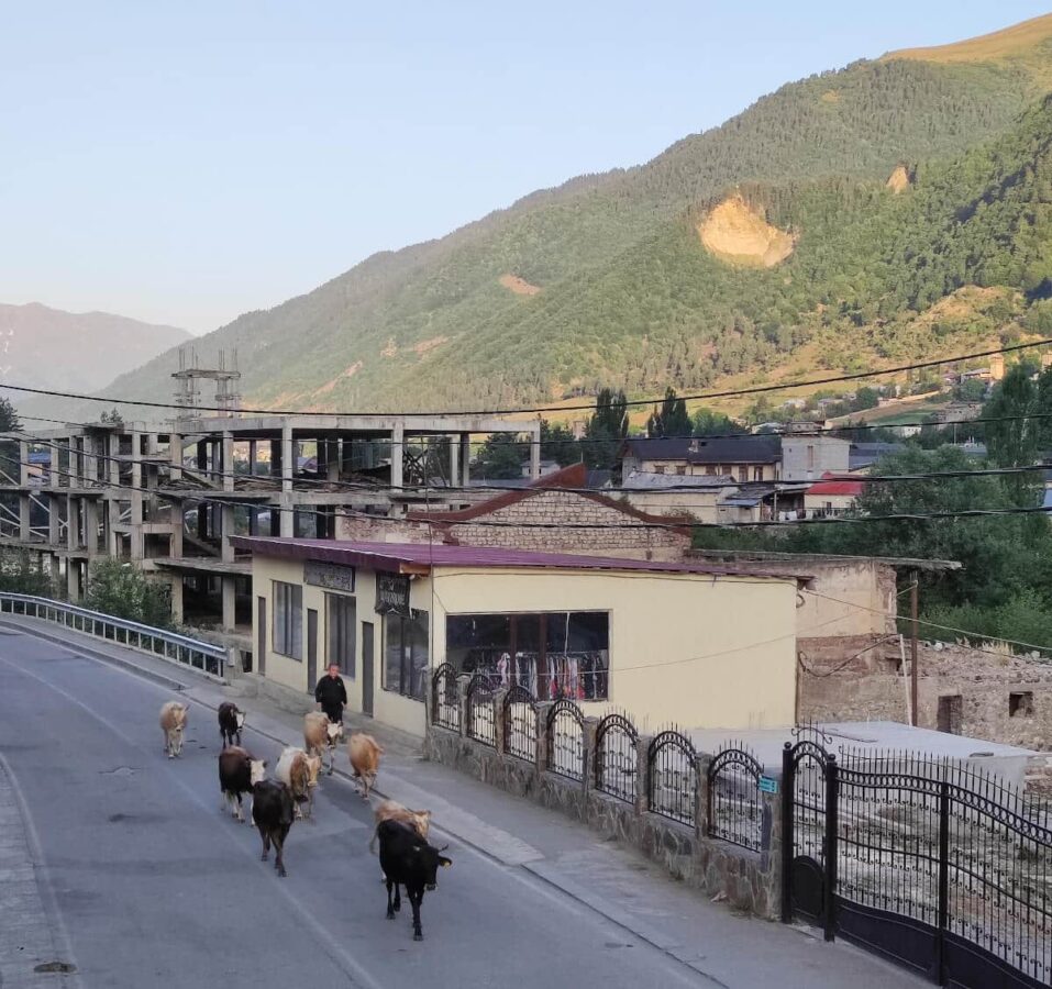
On the way to Murshkeli
After I left the asphalt road in Mestia, I was sure that our adventure was beginning!! I saw some cars passing by me at the exit of Mestia. Cows were having breakfast and staring at me when I walked by them. I never heard about anyone being attacked by a cow while hiking somewhere. If you had a bad experience with them while traveling, please let me know in the comments.
The trail starting from Mestia has some signs indicating the way to Adishi. Most of the time, the chances of getting lost are slim because there is only one trail to follow. After hiking for 3-4kms from the official start of the trail, we lost our way where there is a small hill that leads to the Koruldi Lakes. Keep going on the right side towards the village of Murshkeli.
From Murshkeli to Majvdieri
After reaching Murshkeli, you have 2 km until the next village (Zhamushi). Until here, you were hiking for approximately 8kms. I recommend taking breaks in the villages because it’s easy to find spots with shadows. Be aware that after Majvdieri, exposure to the sun will be high.
Zhamusi is a village with good local vibes, and you can see many dogs and cows. I also saw some pigs sleeping in front of some places. Living in the city makes us enjoy these moments where we can feel nature and the animals around us.
The distance from Zhamushi to the Majvdieri is approximately 3kms. I met some locals on the way and asked them for water to refill our bottles. I recommend you do the same because, on the first 15-16kms of this day, the best water sources found are in the villages.
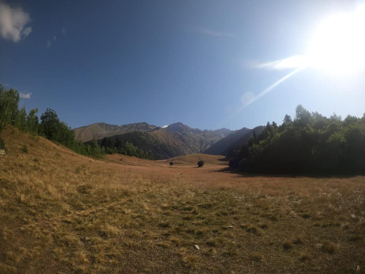
From Majvdieri to Adishi
After leaving Majvdieri, the challenge of the day starts! As I said, the first day is a tough one!! From here, the elevation gain increases considerably because the trail goes to the top of the mountain. From there, the trail leads to Adishi. It will be around noon when you leave Majvdieri. Here is the moment where sun exposure is something to consider.
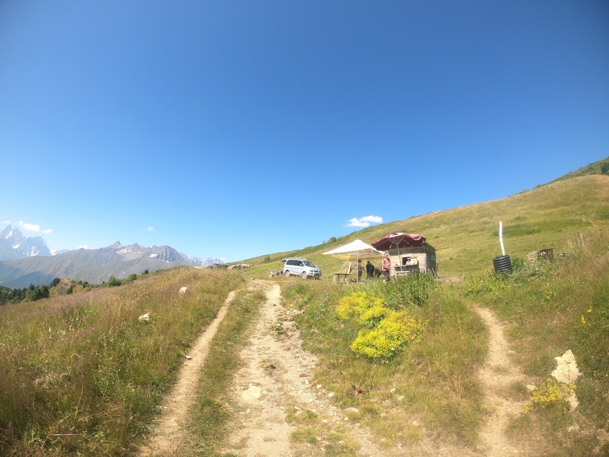
On the way up, some mini-trails derive from the main one. Since the destination is at the top of the hill, pay attention here to avoid some trails that would make it harder to go to the top. Once reaching the top, there is a small wooden cabin where locals sell drinks. It is officially the top of the hike today, and from here, it’s just a downhill hike.
The peak where you are is at 2475 meters altitude. Going towards Adishi, the elevation loss will be around 360 meters. You are almost there! Adishi is 5-6kms from the peak.
Second Day: From Adishi to Iprari
This day is a moderate 17km hike with an elevation gain of 638 meters. I stayed at the Hotel Family Bachi. The owner also prepared a huge breakfast, so I was well-prepared to start the day.
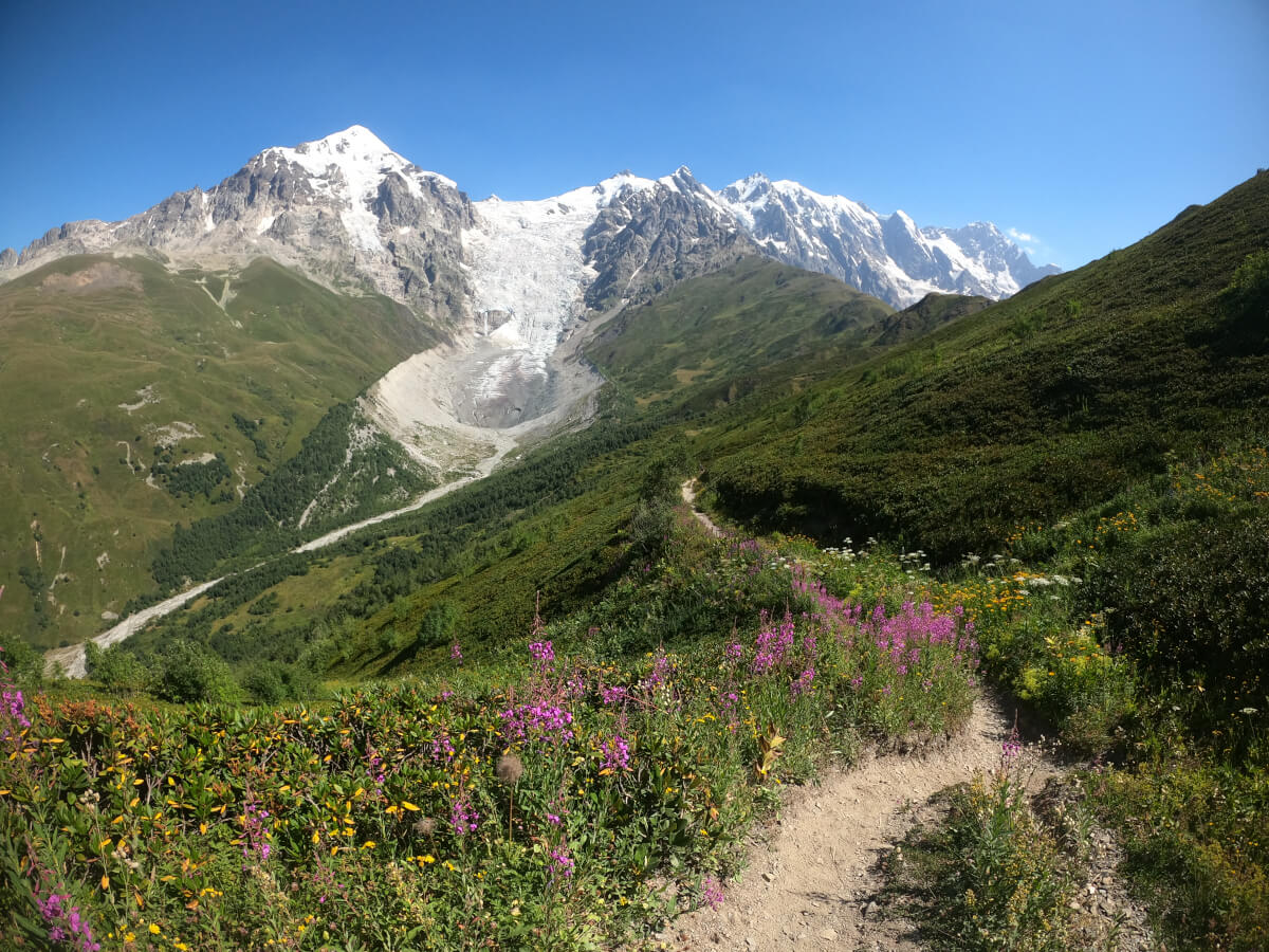
In our opinion, the second day is the trek’s highlight due to the river crossing and the viewpoint of the Chkhunderi Pass. Besides that, the landscapes are magic, and the untouched nature on the trail gives a peaceful feeling.
After 30 mins hiking from Adishi is the first water source, there are several of them on the way, so don’t be concerned about the lack of it. Continue hiking towards the first signpost at 2.8km. From the signpost to the river is 2.5km.
The river crossing
There is a river crossing 5kms after Adishi, and there are two options to cross it: walking by yourself or paying one of the locals that charge 30 GEL to put you on a horse and cross the river. Crossing the river alone is easier early in the morning, maximum before noon. During the day, the snow from the glacier starts to melt. When that happens, it increases the water flow in the river and its difficulty to cross it.
If the river is not very wild and you have good hiking poles, crossing the river will adventurous and fun! For a better picture of the crossing, there is a video below this section to check out. There are always people around the spot to cross the river. A kind Polish guy helped us at the end of the crossing using his hiking poles.
I was there around 9:30 am, so the river wasn’t very wild. As you can see, it’s ok to cross it by slowly walking and using hiking poles to stabilize your body. If you are scared, using a horse is the way to go.
Chkhunderi Pass
If you have decided to cross the river without a horse, it’s time to dry and continue towards the next spot: The Chkhunderi Pass. From the river to the Chkhunderi viewpoint is a 0.5km uphill. Time to climb up!!
After reaching the viewpoint, take your time for a break and enjoy the views around it. Georgia’s nature stands out, and it’s easy to see why. From the viewpoint, you can also see the water melting from the glacier and take good pics. You can also hear the glacier melting, sounding like thunder.
Downhill to Iprari
After reaching the viewpoint, the trail to Iprari goes downhill for 2.7 km. There is a signpost pointing in the right direction to Iprari. After 1 km is the first of many water sources on the way.
Something to be aware of about the downhill is that the trail is steep and narrow. There are no trees and shadows for a quick break. From the top, the trail continues to the right side to the bottom, where small abandoned shacks are.
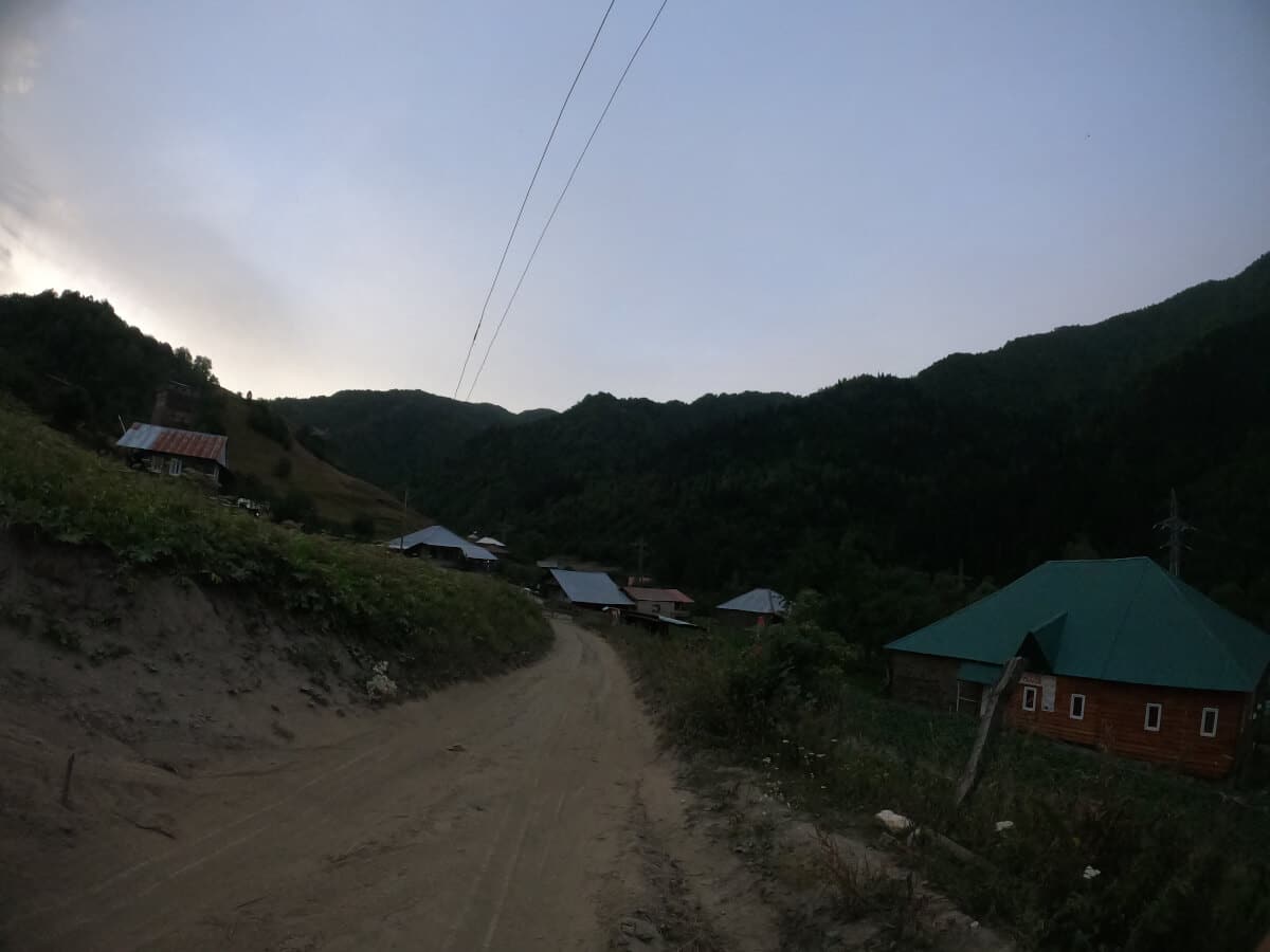
Continuing for 2.3kms after the end of the downhill is the first sign of civilization. There are a couple of places where you can buy drinks and snacks. Perfect for a break!
After taking your time to rest your legs a bit, time to continue towards Iprari. You still have 3 km to reach the final destination for today! The path here is more off-road than a hiking trail. Don’t be surprised if you see cars driving by. In this last part of today’s hike, the elevation loss is around 100 meters. Keep going until you reach Iprari. For me, the final destination was the Betegi Guest House, where I was very welcomed.
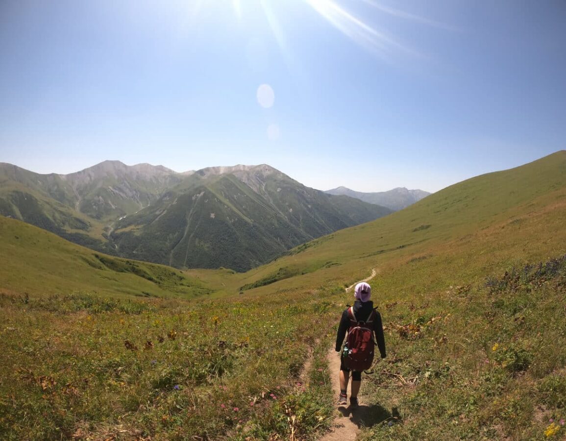
Last Day: From Iprari to Ushguli
I had connectivity issues with my cellphone, so I didn’t record the route on the third day.
The last day is the easiest one. If you want to add more challenge to the trek, there is an alternative trail through the mountain behind the village of Davberi. I am covering the second route, which is through a trail/road that connects Davberi and Ushguli.
After hiking for 1.7 km to the village of Lalkholi, it is a downhill path from Iprari. Starting early in the morning, you can hear the animals around the farms and the river that crosses the village.
Continuing after the intersection for 3 km is a water source. It is one of the few water sources I found on the trail. So use the opportunity to refill your water bottle and move to Davberi.
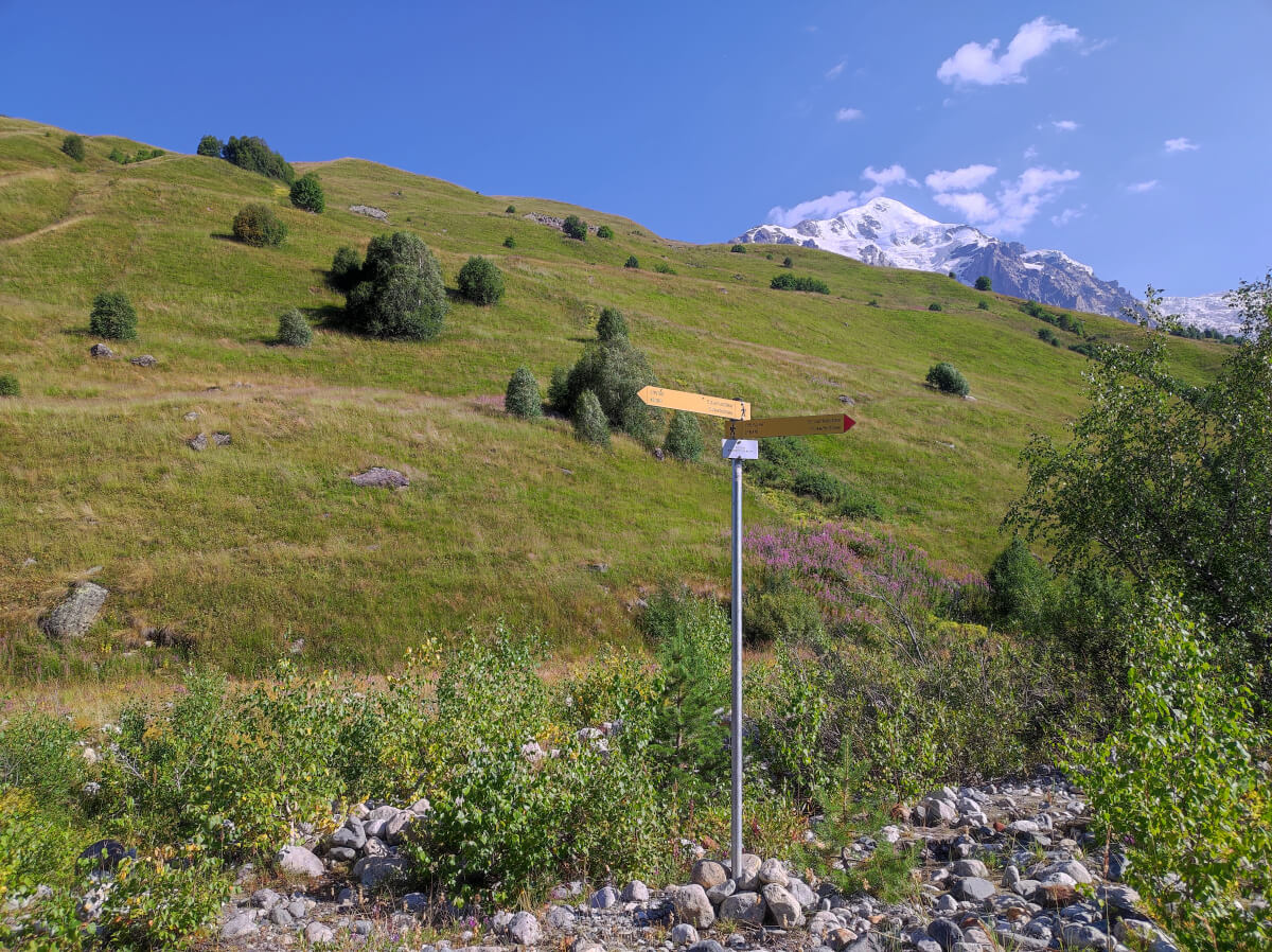
From Lalkholi to Davberi
The distance from Lalkholi to Davberi is only 600 meters. When leaving the village of Davberi, you will see an intersection with a signpost with directions to Ushguli. From this point, the way on the left side is the mountain version of today’s hike. And on the right side is a trail/road leading to Ushguli but with less elevation gain. Be aware the mountain view hike will add around 350 meters of elevation gain and 2 km to the trek.
Continuing hiking on the right side is one final bridge to cross before leaving Davberi. After a few minutes is one water source from the mountain on the left side of the trail. It can be a bit dusty at some parts of this trail. Mainly because of the road construction taking place.
Close to Ushguli
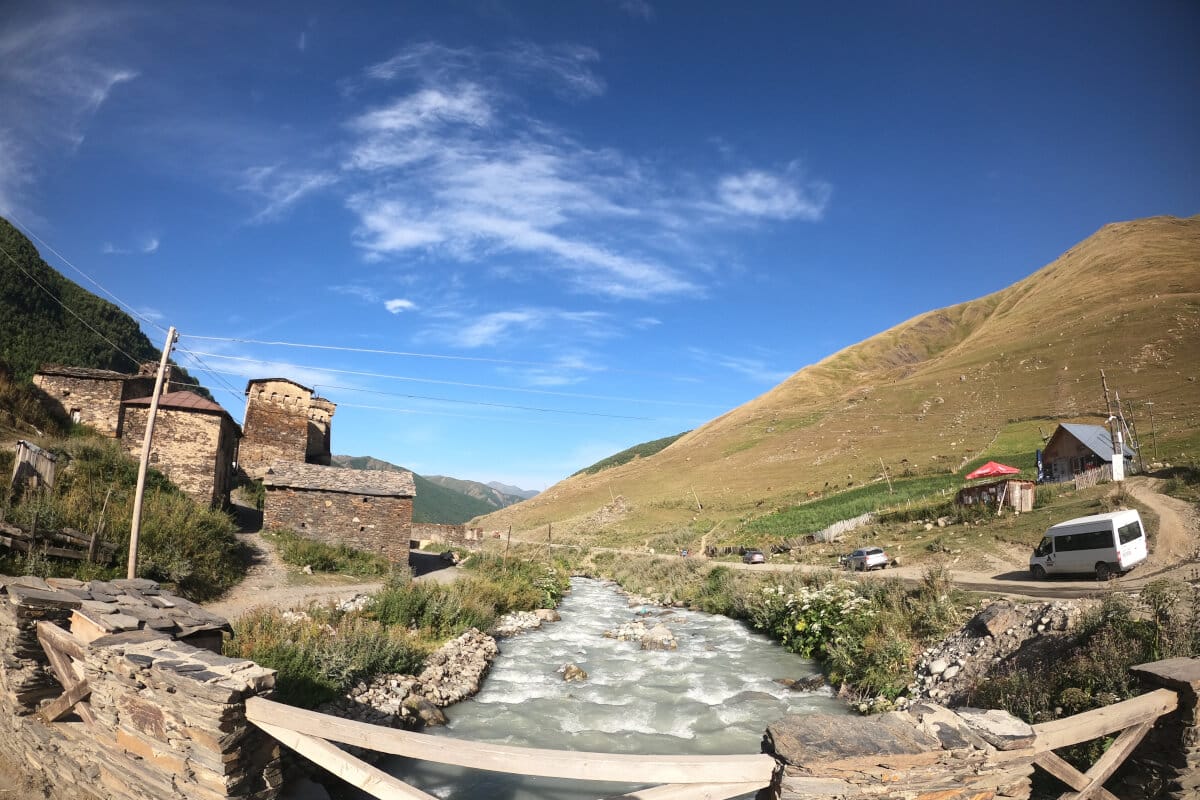
After the water source, continuing for the next 5-6 km is the final destination of the trek: Ushguli!! Please take some time to appreciate this group of villages and their architecture. Almost every house in the area has a defense tower close to it. These are called Svan towers, used in the past to defend the village. Besides that, towers provided space for storage and accommodation during the summer.
Conclusion
This post was a detailed 3-Day itinerary for hiking from Mestia to Ushguli. Both places have their magic that makes them unique. I would classify this trek as moderate-hard. It was a great adventure that will stay forever in our memories and yours after you complete it.
I am happy to have the opportunity to share this adventure with you. If you want to follow my route, check the links for each day. Unfortunately, the GPS data generated from my cell phone was not accurate. On the first day, I saw that my GPS wasn’t working correctly. In any case, you can always ask people around as well.
See you on the next adventure. Cheers!!